Taking In Lake Texana

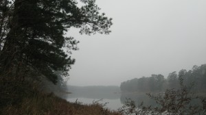
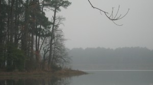
This past weekend, we went camping at Lake Texana State Park and had a great time.  This park is about two hours southwest of Houston, off of Hwy 59 in Granado.

We wouldn’t normally go camping back to back weekends, but this trip was a special one.  We had committed ourselves to helping with the boy scout troop of a co-worker of mine, members of which were working on their geocaching merit badge.  Some of the boys had not heard much about geocaching, and some needed help with certain items on the the requirement list.
Example of Lake Texana Geocaches

Our family of four helped out by giving an hour long introduction to geocaching, as well as loading the troop’s donated GPS units with the 17 caches in the park we wanted to find.  After the talk and explanation of how to use the units was over, we headed out on a hike with this troop to find some of the ones we loaded for them together, so we could give them helpful hints along the way.

There were about eleven boys in the troop, plus three adult leaders, myself and J, my two boys, and three of our dogs along for the trek.  We started on the Bobcat Tracks trail near the park headquarters, and headed north.  Eventually, we came to a turnoff for the Alligator Cove trail heading southeast, then hooked up with the southern end of the Texana Trail.  Caches we found along the way included:    Bobcat Track,   Matthew 7:7, Corner Post, Gimpy’s Cache, Big Man Pig Man, TxGCC11 Texana, Ha Ha Charade You Are, Head Down a Pig Bin, and R U A Texa”CAN”.  It was a lot of fun watching new people get all enthusiastic about the game.

Before the last cache, my co-worker had to turn the younger boys further on down the path to complete a five mile hike requirement.  My little boy and some of the dogs were worn out, and so we stopped here for the day, after 2.5 miles and about two hours worth of hiking around.
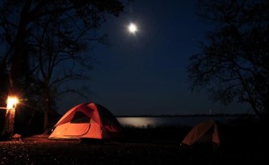
After this, we went back to the campsite.  The boys and I wandered down to the waters edge and looked at animal tracks, trying to figure out the stories of the wildlife who passed this way. On our walks to the bathroom, we got to see some of this wildlife for ourselves: a few armadillos and white tailed deer.

The lake had shrank considerably since last time J was here (this was our first time here).  He asked a ranger, who said the lake was at 30% capacity, following this year’s drought.  Normally, the waters would have been up to the platform edging of our campsite, but now we had more than 500 feet of marshgrass and sand to explore. A short time later, we grilled hamburgers, played Uno, and roasted marshmellows over the flames of the camp stove J gave me for Christmas (burn ban was in effect, so sadly, no campfire) for our s’mores. After a couple of s’mores and Sasquatch sighting stories, the boys were ready to lay down in their tent for the night, and I in ours.  A barred owl or two called in the night as we nestled in our sleeping bags for the night.
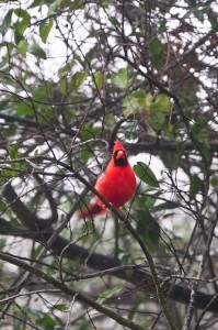
The morning arrived wet with dew and mist.  Birds came fluttering around the campsite, making little bird tweets, calls, and coos.  We cooked a warm breakfast of bacon, spam, , warmed tortillas and eggs while a brave cardinal fluttered close by, watching.  A Carolina Wren sang a morning song for us in the brush. J spied a Forster’s Tern dive into the waters for a fish and awed.

My favorite part of the weekend, the part I keep replaying in my head, happened after breakfast.  The boys and I went down to one of the fishing piers, hoping we could drop a line in there (no such luck), and as we started to walk up the pier, a huge bird, which had been perched on the pier railing, took off and flew right past us, then swooped down into the marsh grass below for a kill.  It was a beautiful specimen of a red shouldered hawk, a dark red along the body, with sharp black and white striped wings.
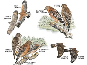
We had seen a great number of hawks on the way in to the camp, and we are still not sure what kind they were.  Road hawks, maybe, red tails or coopers hawks possibly, and one we stopped to take a long look at I am almost certain was a ferruginous hawk, but this was the most amazing of all of them.  My only regret is that J didn’t get to see it, as he is the one who would appreciate it even more than I did.  I was being annoyed for petty reasons and had not invited him, necessarily, to join the boys and I down at the pier.  Because of my petty selfishness, he missed out on an experience that certainly would have burned in his memory the way it has in mine, and for that I am sorry.

I was also sorry that we didn’t bring rain gear with us when we went on another geocaching hike a short time later.  We found a few more caches, but more than half a mile from the trailhead, it began pouring down rain.  Our idea of letting the tents dry out in the morning sun proved to be futile, as we ended up having to pack wet gear in a hurry to get home.

What I am not sorry about, though, is insisting we go on this campout, even though it meant missing an annual geocaching party that J and I have not missed in the several years we have been caching.  I am also not sorry we went to this park – for Lake Texana is full of natural wonder, birding pleasures, awesome geocaches, and now, fond memories.
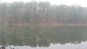
Huntsville State Park

We celebrated New Years Eve weekend at Huntsville State Park, located in (you might guess) Huntsville, Texas, which is about an hour drive north of Houston.  This park joined the state park system in 1938, yet much work remained in the park at that time.  Most of that work centered around the building and then re-building of the dam, which caused the two creeks in the area to combine to form what is now Lake Raven.  The park officially opened to the public in 1956.

This park encompasses 2083 acres and offers visitors recreational opportunities that include fishing, hiking, biking, boating, canoeing, some swimming, and horseback riding (provided through 2E Stables).  And also, geocaching!  This was what we were there for, of course, and we found six of the remaining eight caches in the park we had not found yet while there for this campout.  Most of those were ammo cans hidden along a trail that require a little bit of a hike.

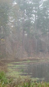
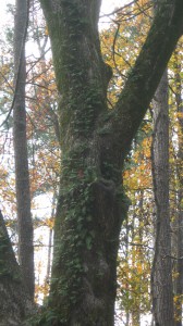
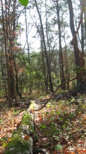
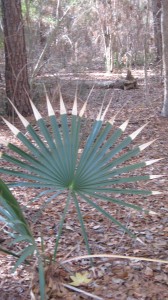
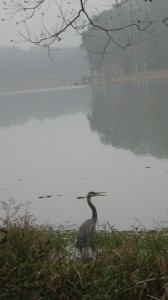
Here are some photos displaying the natural beauty of this park:

We arrived at the campsite Friday night, set up and then spent some time around the campfire with our friends who were already there.  Saturday, I made up some breakfast burritos on my new campstove, composed of eggs, sausage, cheese and tortillas.  As a group, we ended up taking a four mile hike along the Chinquapin Trail and finding some caches.  This hike had us all sore afterwards, but probably not as sore as Brian, one member of our group, who took a spill down the spillway.  The best part of this hike was a sighting of a bald eagle flying over the lake.

That night we had a potluck dinner, the highlight of which was the crockpot lasagna made by our friend Diane.  In the morning, we made some eggs and Spam on our stove, and also I finished cooking the black eyed peas I had started the night before, haha.  They were actually quite good, even though I cooked them oddly.  I ended up taking a horseback ride with one of the girls in the group this morning.  My horse was named Festus and he was a nice ride, if the boy in front of us had not been a very whiny unattended seven year old, we would have had a great ride.

We also went for another hike, down the other section of the Chinquapin.  This park did not offer First Day Hikes like some of the other parks, but we enjoyed making our own.

After this, it was time to break camp and head home.  We were pretty exhausted and we still had to stop by my parents house for gift exchanging.  It was a great group outing and I am sure we will go back to that park again.


PAUL BARCLAY STASH: GC67

Last summer on our road trip vacation, we had some specific high-value targets in mind: “grandfather caches”, which is a term cachers use for oldest active caches.  Specifically, ones hidden in the first year of geocaching, 2000.

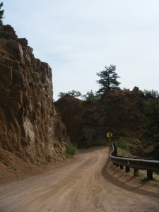
The first morning we were in Colorado, we were in pursuit of one of these: Paul Barclay, the 36th oldest active cache in the world.  I was very excited about the prospect, because this particular one looked like it was just southeast of where I used to live when I lived in Colorado back in the late nineties.  We reached an access area to the Bear Creek Nature Area, I think it was called.  The roads began to get a little more windy and scenic as we made our way up Gold Camp Rd, and we stopped for a couple of cursory caches before continuing on.
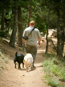
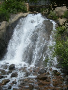
We actually missed the turn off to High Drive, which is where we needed to get to in order to access the closest parking spot to Paul Barclay, the first time around.  We ended up at Helen Hunt Falls, which was spectacular in itself, but not something we had time to get out to explore further, because we were on a mission and trying to figure out where we went wrong.  We ended up coming out of the park, getting gas, and then trying again, retracing our “steps” until we found the sharp right turn we missed the first time around.

Now it was time to make the hike up.  It doesn’t really seem that far, as the crow flies – it is only 0.19 from parking ;-), but when you start at around 5000 ft and go up to 8299 ft, that 0.19 really is tough!  Also, since it is a mountain cache, you aren’t really going directly up – there are a hiker’s least favorite word to contend with – switchbacks!

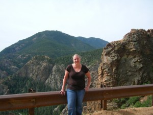
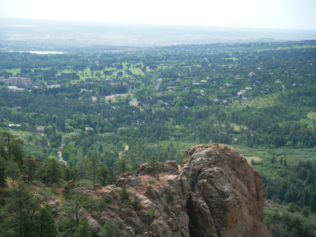
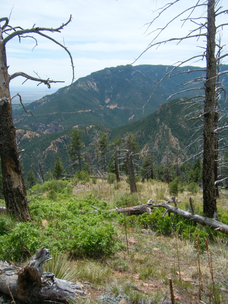
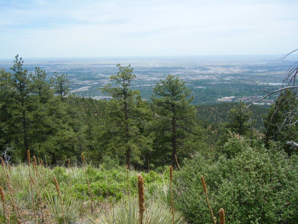
During this time period in my life, I had been exercising regularly, so the tax on my cardiac and lung function was not unbearable, but J wanted to stop towards the top of the climb about every 100 ft or so to catch our breath, and I didn’t mind.  We finally made it to the top…what a view!

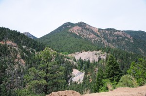
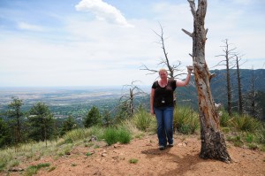
We didn’t immediately find the cache, which I think it is because the coords may be slightly off – in 2000, gps units didn’t have the kind of chip that a lot of them have now that makes them more accurate.  It didn’t take us very long to find it, though, when we started using our caching senses.  Then we took lots of pictures. Here are some below of the view at the top, and around the cache site:

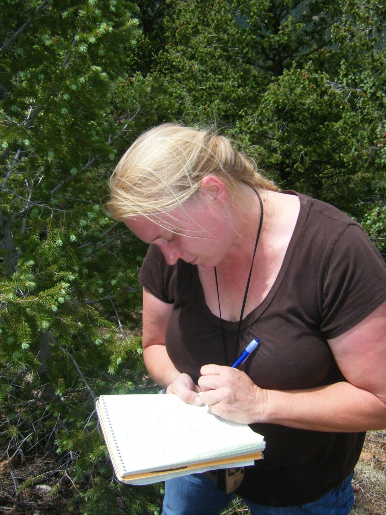
Signing the Log

After this began our long descent.  We took a different way down that took us further away from the truck at first, but was a slightly easier path in terms of elevation changes and steepness of trail.

We hadn’t brought water with us on this hike, which was foolish of us, so when we came down, we were a bit dehydrated.  In high elevation areas like this, you get more dehydrated than at lower levels, mostly from what I understand because your seat evaporates before you notice you are losing water, so you don’t think to replace it sooner like we do in the salty south.  I knew that back when I lived in Colorado before but I had forgotten.

We had to race back to our hotel to check out at this point, because we were behind checkout schedule.  In fact, the maid had already cleaned our room, throwing away the only thing we left behind, but what was a critical element of our trip: the dog food bowls.  After getting them back, we headed for a delicious lunch at Meadow Muffins, and some well-needed ice tea.

This was the end of our trip to Colorado Springs this time around, but we’ll be back.  There are still some grandfather caches close enough for us to make this home base for a drive or two later on, and we have a lot of exploring left to do in this area.  For this day, though, it was time to get on the road and head to Rocky Mountain National Park.

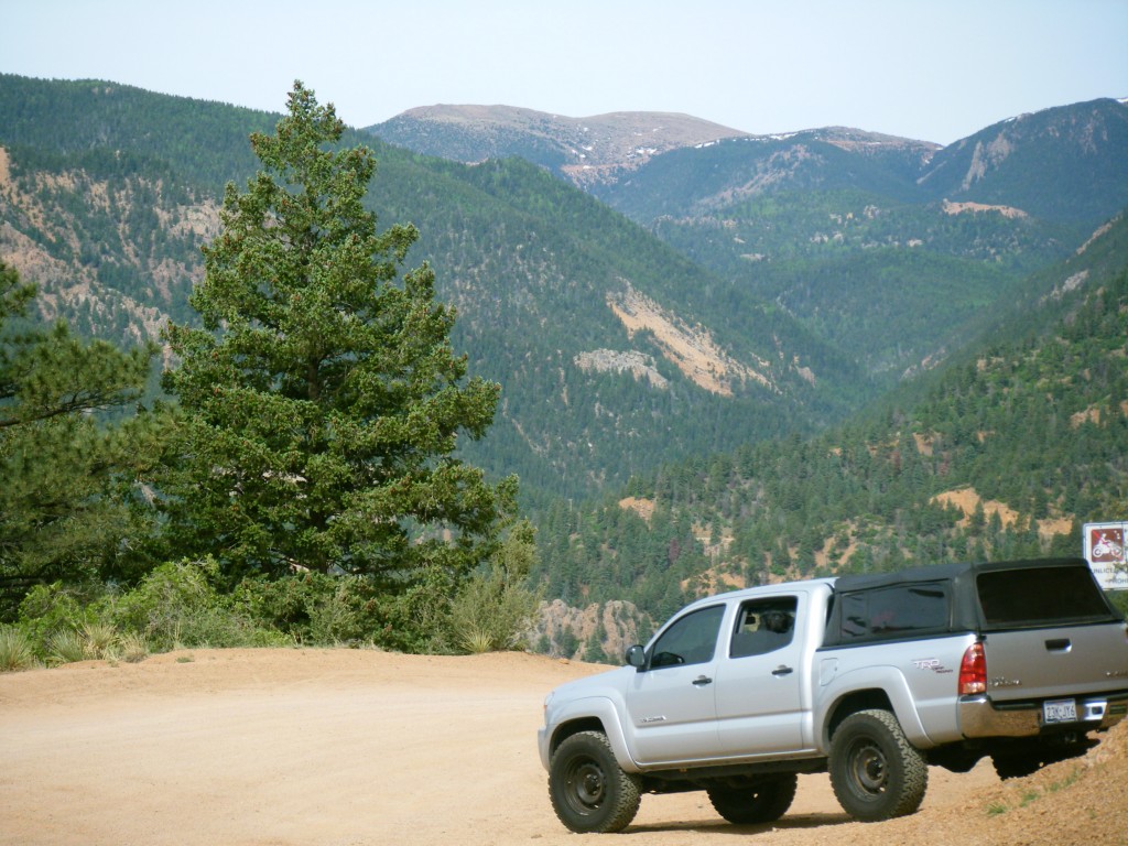
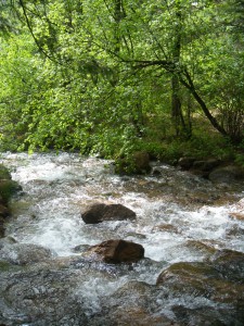
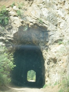
Here are some more photos from our drive into, through, around the Bear Creek Nature Park area and Paul Barclay:

HILL COUNTRY HEAVEN Part 3

After the high terrain hike we took in Garner State Park, the dogs and Jason were all wore out.  I wanted to go find one of the great swimming holes of the Frio River, but the river was just about dry this year due to the drought and they were just too tired.  We headed back to the cabin, made some dinner, and then took a brief late night walk.

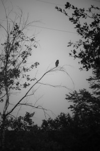
We were hoping to see some wildlife along our walk, as it was around dusk and we were near the “swimming hole” – a part of the Sabinal River near Foxfire that is used for this purpose – but nothing was stirring.  J was taking some pictures of this part of the river when something swooped over it…must be an owl.  I didn’t see where it went after but I saw an oddly shaped something on the ground between two trees, and starting creeping towards it to investigate, thinking it was probably a tree stump, but maybe it was the owl. As I got closer, the something lifted into the air, and landed on a pole for the volleyball net.  Definitely owl.  I called J to come over to get a picture, and at that point, the great bird flew to a tree, then another.  We got a few shots before it flew off for good; not terribly great ones, but at least enough to identify that it was a Great Horned Owl.

The next morning, I was really tempted to go hiking again in Lost Maples SP.  The problem with that was, the only trails, and geocaches, we have left to explore in that park are the high terrain ones, and we had two hikes already scheduled for today, plus we were sore from the day before.  Also, J wanted to get home sooner rather than later.  So instead, we made an odd breakfast involving potatoes, and then checked out of the cabins, heading to Hill Country State Natural Area instead.

We were still working on our Texas Parks and Wildlife Geocaching Challenge – Hill Country Passport, where we have to find the specific geocache in ten of the eleven state parks in this particular region.  It’s not like you can choose which trail or geocache you want to find, based on how you feel that day or how hard the difficulty or terrain is.  Like preschool children are taught, “you get what you get and you don’t throw a fit”.

This particular one was a little daunting, in terms of terrain (rated a 3.5 out of 5), and at eleven am in August in Texas, it was HOT when we got out of the truck.  Still, this is what we came for, and so we set off.

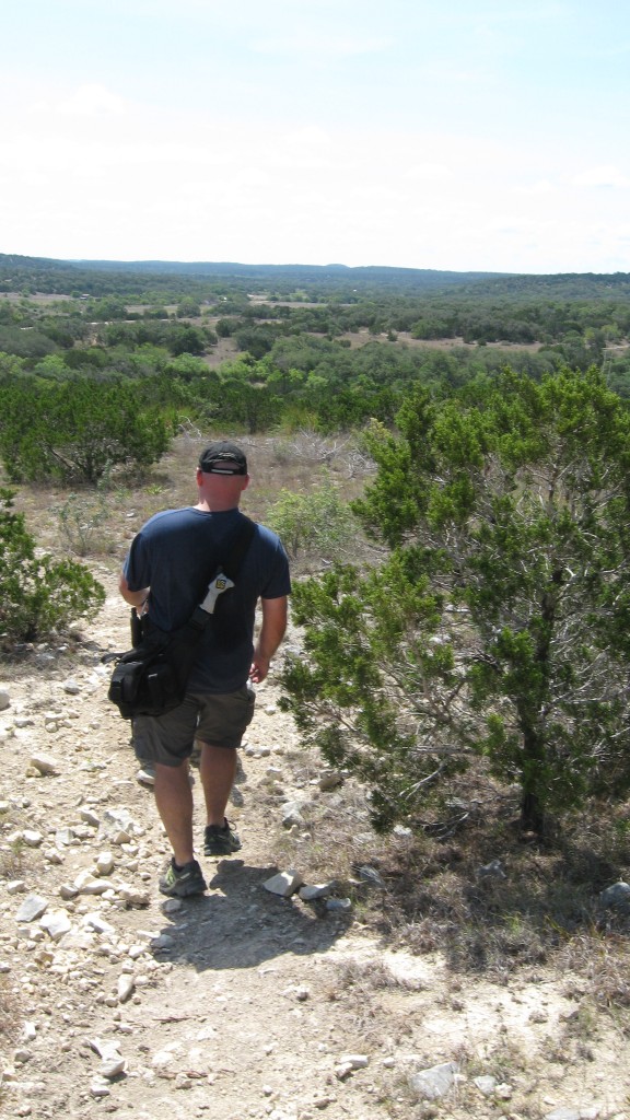
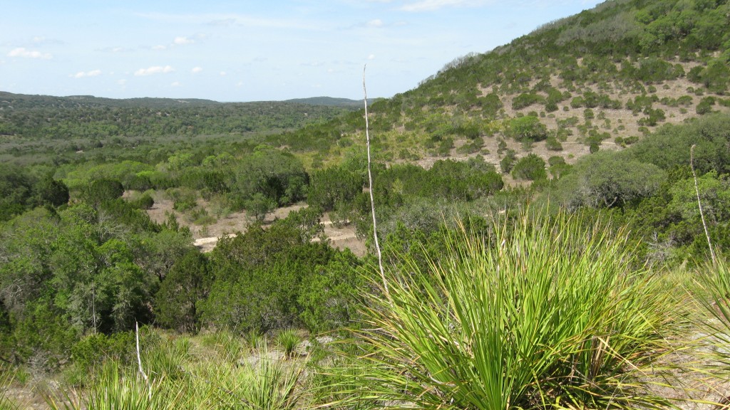
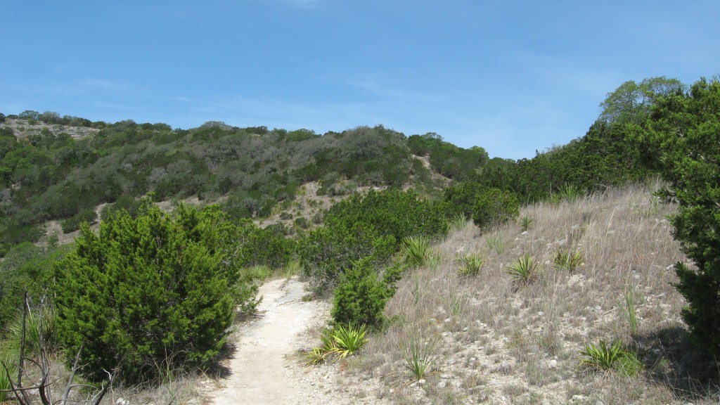
This park had a lot of equestrian action.  Of course, it didn’t help that the trail to the cache was, in fact, an equestrian trail.  As we set off on foot with the dogs, we were soon tailed by three horses and riders. The whole hike we spent trying to make sure we were walking fast enough to stay out of their way, or dodging them once we got to the rough hilly spot and cedar thicket where the cache was hidden.  I want to say it was about a mile or two round trip hike.  Great views, hot sun, little shade, lots of rocks.  See for yourself:

After this, we drove to Government Canyon SP, and got the TPWD cache there.  Well, I got the cache there, Jason sat in the truck and waited for me, he was worn out, and the hike was not far…although it was frigging hot out there at 1:30 pm.  I felt like I was melting.  We also found ten other caches along the way between the cabin, the two parks, and home.  The coolest one was the last one.  I had been eyeing this cache for a long time but I never could figure out how to get to it.  J figured it out with his mapping software, backroads style.  The cache was an ammo can about 500 feet down the top of an outcropping, about 50 feet away from a fence around an exotic animal ranch.  I scored this picture of one of the zebras I saw:

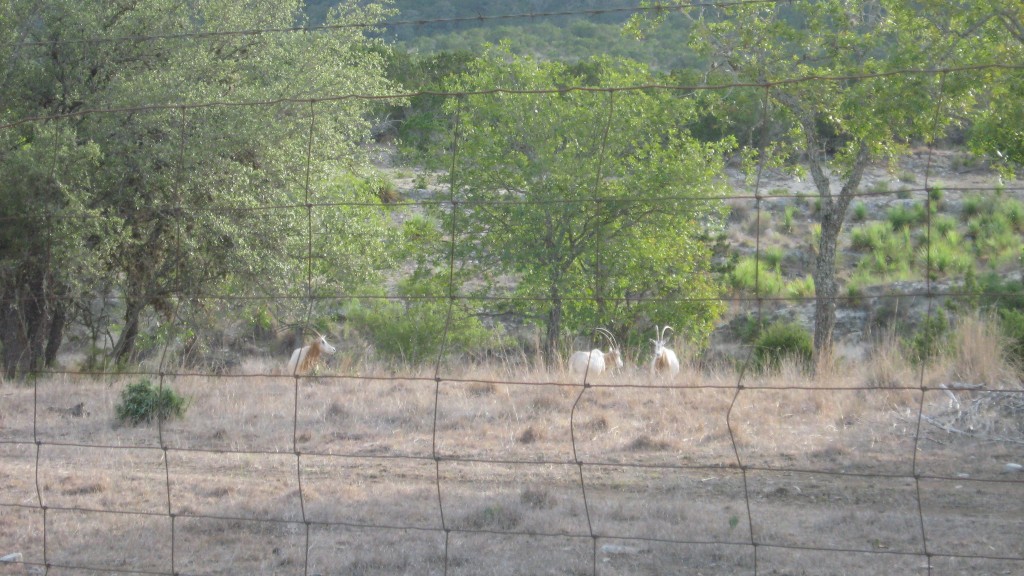
How’s that for Texas?  Also, when we were driving around the hill country, I snapped this not-that-great snapshot of some exotic undulates, which, after much researching later, I discovered were scimator horned oryxs, which are extinct in their home country of Africa at this point due to overhunting, but are thriving in Texas, where they often end up at the losing end of a gun at an exotic animal hunting area.  This is sad to me.  Here is the picture: