Bear Creek Park and Some Fun-gis

Monday was a holiday for me, but not for J.  The kids were still gone, and I had no idea what I was going to do with myself.  I considered some more mundane pursuits, but ultimately decided I really wanted to play outside, after spending most of Sunday indoors.

So I posted a thread on the Houston Geocaching Society forum, and next thing you know, I had the company of two fun guys on a Monday morning, and we set off to explore the inner boundaries of Bear Creek Park.

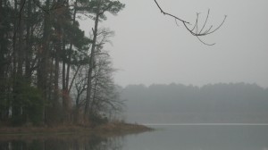
Bear Creek Park is on the west side of town, and boasts 2153 acres of fields and forests.  It is a multi-use park, with soccer fields, equestrian trails, and even a little mini-zoo, with a small collection of exotic animal exhibits.

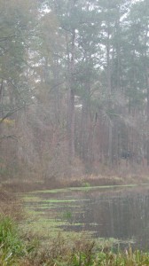
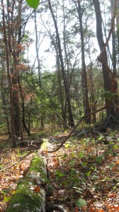
  We started near this cache I had found years prior, and then walked back into the forest and in a huge circle for about an hour and a half, finding five caches.  We were roughly near the equestrian area.  This park is in a flood plain and with all the recent rain, it was downright swampy back there.  Good thing we all had boots on.  The water was ankle deep in places.

The caches near here named little piggy 1, 2, and 3 were very cute.  There was a lot of bird activity going on, but I forgot the binoculars.  Mossies were terrible.

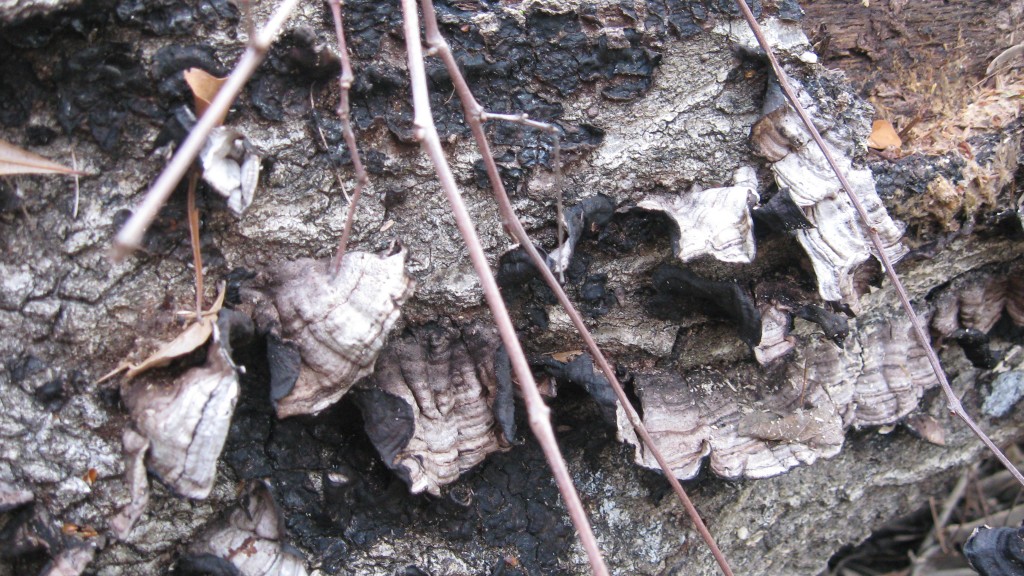
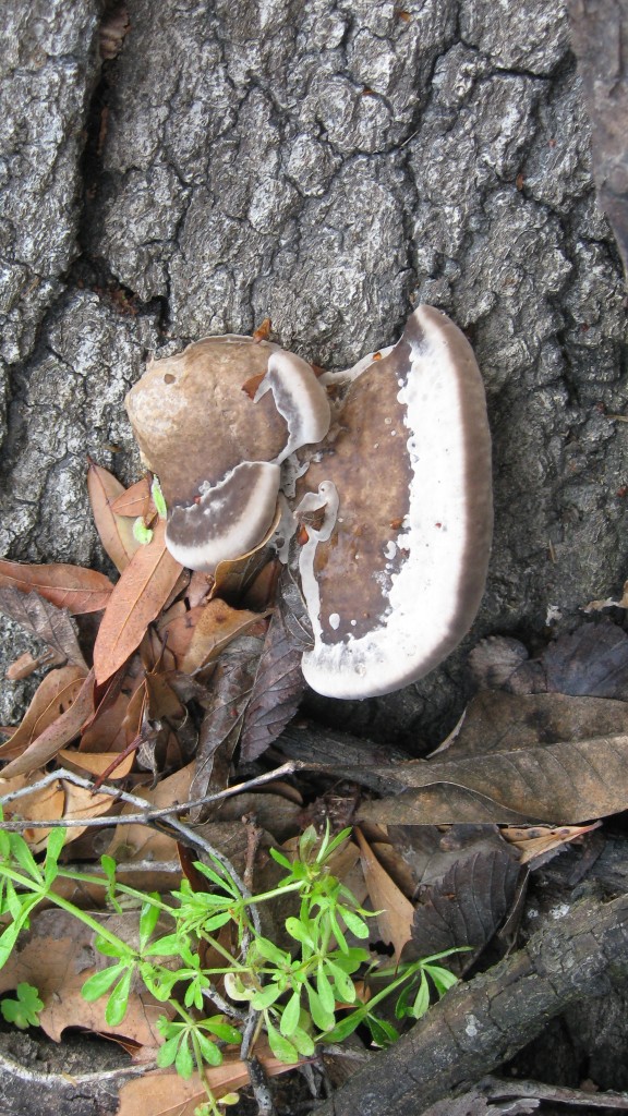
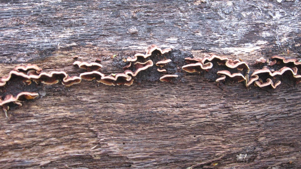
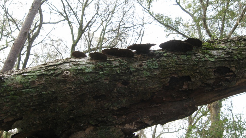
There was a lot of fungus among us.

After this, we decided we were tired of the sloshing about and headed for what we thought was a drier series of caches: The Elements Series.  This is a series of 100 caches along a reservoir, each highlighting a different periodic element.

We found about 15 of them, and would have found 20 except the water was too high, and the caches were now watercraft-accessible only, unless you wanted to swim with the snakes.  This took us another couple of hours.

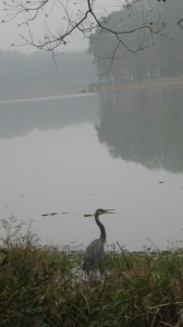
I saw many signs of wildlife out this way, but no actual animals except the birds.  The bird activity was gratutious.  I think I even spied a loggerhead shrike from a distance.  At one cache, we spooked a flock of vultures that was about 50 members deep. 

Fresh deer scat:
               The feral hogs have obviously been wallowing out this way, and left deep impressions on the sides of the reservoir.

(and…the rest of the story will have to continue after a game or two of Uno with the boys and bedtimes)…
Simonton After the Storm

I thought we were headed to Lake Jackson today.

But last night, the long rumored storm that was coming finally hit.  Or should I say this morning.  About five am, we were listening to the wind and rain pounding the side of the house and talking half coherently about how bad it was supposed to be, and I was realizing that we were probably not going to the bird sanctuary and hiking today like we planned.

But we can’t stay inside long.  We just aren’t made like that.  So as soon as the rain stopped, around 10 am, we headed out to Simonton to check on some caches we placed out there last week.

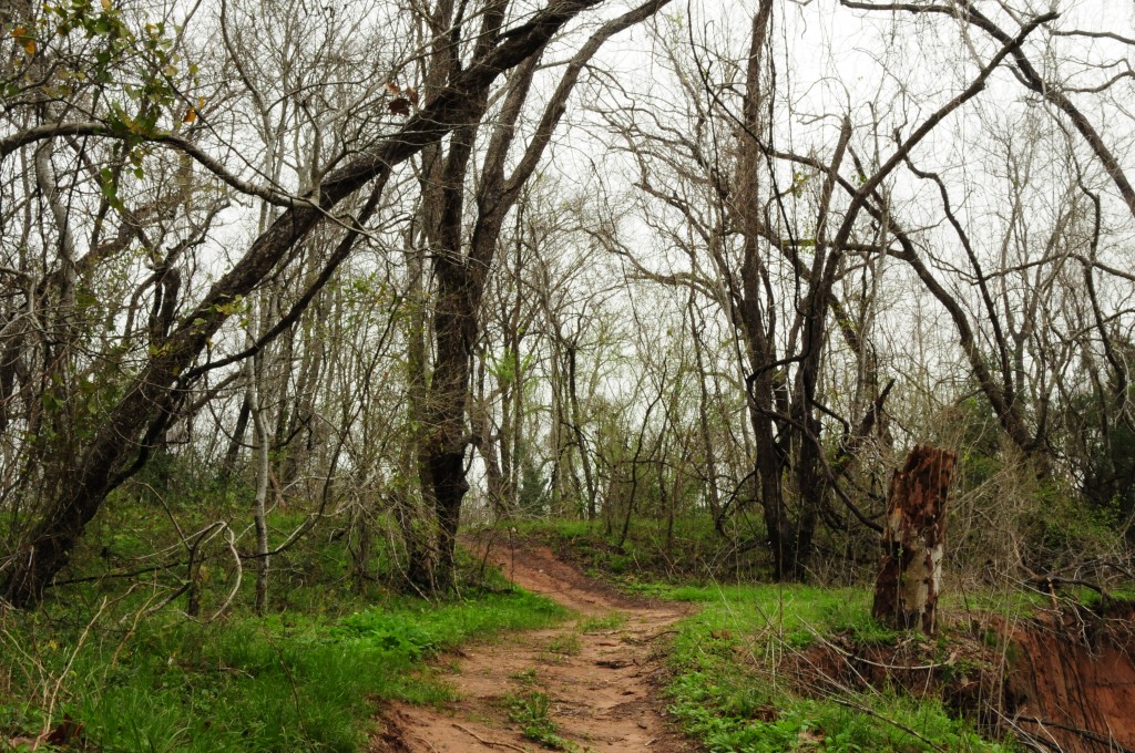
This is the path near one of them, the third of three in a short series highlighting different views of the Brazos River.

Simonton is a sleepy little town about 12 miles from us.  The city hall and fires station are about the tiniest ones I have ever seen, and mostly it is a farming community.  There are some unique businesses around the area, and a lot of country roads.  We like to drive around out that way looking for hawks, and lately we’ve gotten into hiding caches out there as well.

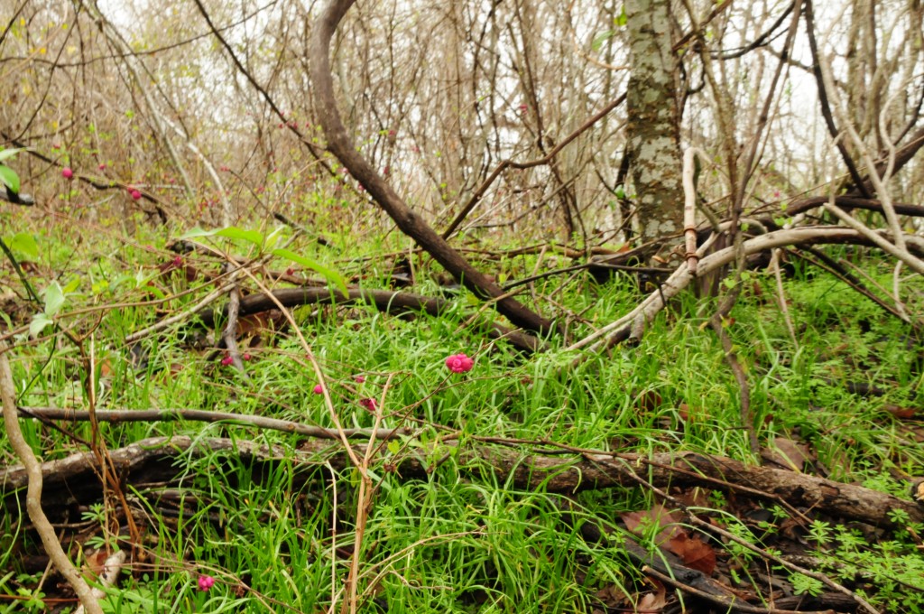
Usually the FTF (First to Find) competition is very steep in this area.  When a new cache is published, you can be that within 15 minutes, the FTF hounds will descend upon it like vultures. But for some reason, this one has not been found yet.  Perhaps because people assumed that the guy who went out to find the other two found it as well?  He didn’t, because he slipped in the mud and it was raining and he didn’t look very hard.  But it is there.  Really close to here:

I am trying to figure out what plant that is with the pink buds, but that might take me a while.  I am not very knowledgeable about plants and I don’t have a reference book.

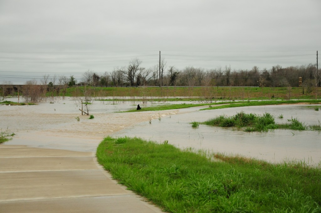
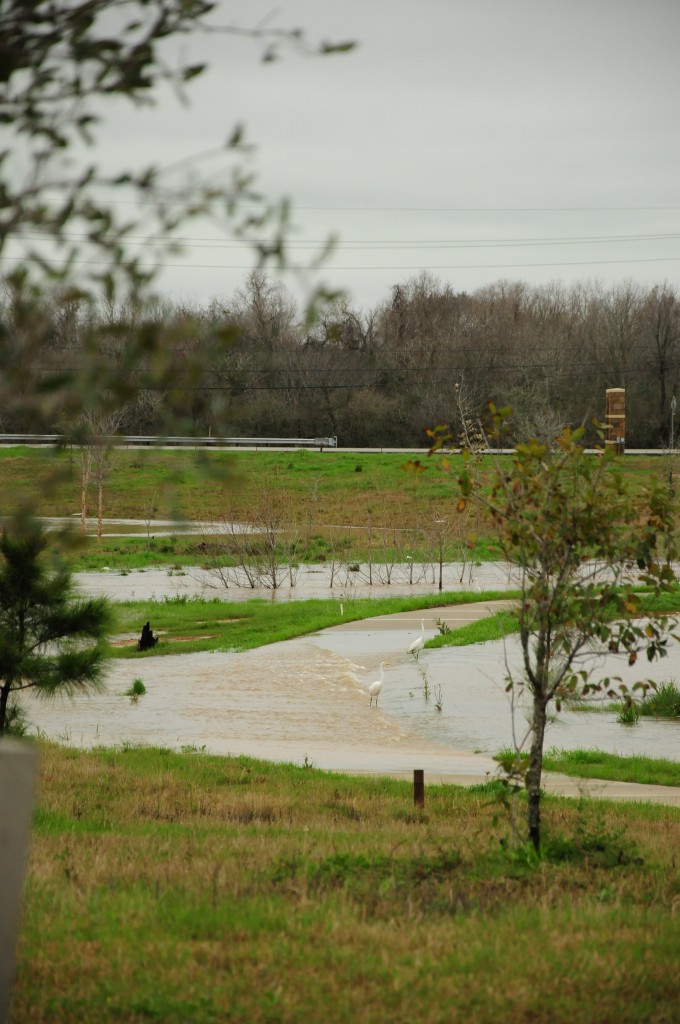
The Brazos looked higher, but not by much, but the gullies and fields were full of water. Retention ponds were doing their jobs well.  We think the sky must have dropped 6″ inches of water between last night and this morning.  We stopped by this place below, were on the way out, we saw a woman and a child standing with umbrellas.  In their place now were water birds, thinking this was a lake shore and not a sidewalk I guess.

The birds flew away as we got closer, so the perception of the water height is not as strong in this next picture, but you can see the egrets here:

This area is actually Fulshear, which lies between Katy and Simonton.  We had breakfast there in the morning, at a place called All Stars, which has become like our favorite mediocre diner.  It’s close and convenient to our country explorations.

Tonight we are headed to a geocaching meetup in the forest at night, in an area that is prone to flooding, so this should be interesting.  We bought big galoshes in anticipation.  Hopefully it will end up being something worth writing about as well.

Houston Audobon Society: Edith L Moore Nature Sanctuary

440 Wilchester Blvd, Houston, TX 77079

I visited this nature sanctuary location for the second time today.  We wanted to go check on a geocache we hid in there together about sixteen months ago.  When we hid our cache, it was the only one in this little wooded oasis of 17.5 acres in West Houston, in the Memorial area.  Now there are three more, and we found those other three today while out there.

We also brought our new field guide for birds, and tried to identify the ones we saw.  Even though our field manual (National Wildlife Federation’s “Field Guide to Birds of North America”, 2008 version) is broken up into bird family sections and has great pictures, it is hard to use it to identify on the fly.  I was trying to flip through quickly to find the one we had in the sights with the binoculars.

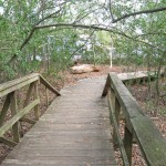
We spent about an hour or two walking around out there, looking down for caches and up for birds.  On the way out, we picked up some literature at the cabin, some that had upcoming events on it and one that listed the common birds found at the park.  This last one helped confirm some of our sightings.

Species seen at park today:  Blue Jay, Northern Cardinal, Tufted Titmouse, Carolina Chickadee.  Possibly Inca or Mourning Doves, since that is what the sheet lists as residents of the sanctuary, although both J and I feel, after comparing our field guide pictures to what we saw, that the doves we saw by our geocache were Eurasian Collared Doves.

The trail that leads to our particular cache was actually closed, although the trails leading to the other three are actively open.  This trail, and pretty much the whole back part of the park, is closed mainly due to dead trees from this year’s drought.

This history of this little nature sanctuary is interesting.  The property was purchased in 1926 by Edith Moore and her husband.  They hand built the cabin and structures on the property, and raised pigs there.  When Edith, now a widow, was close to the end of her life in 1974, she did not want the family farm to be swallowed by the city, as everything else around had been.  So she willed the property to the Aubodon Society, with the promise that they would retain the original structures and allow nature to live freely there.

More information on the Houston Aubodon, special programs, and the sanctuary can be found here:  http://www.houstonaudubon.org

Huntsville State Park

We celebrated New Years Eve weekend at Huntsville State Park, located in (you might guess) Huntsville, Texas, which is about an hour drive north of Houston.  This park joined the state park system in 1938, yet much work remained in the park at that time.  Most of that work centered around the building and then re-building of the dam, which caused the two creeks in the area to combine to form what is now Lake Raven.  The park officially opened to the public in 1956.

This park encompasses 2083 acres and offers visitors recreational opportunities that include fishing, hiking, biking, boating, canoeing, some swimming, and horseback riding (provided through 2E Stables).  And also, geocaching!  This was what we were there for, of course, and we found six of the remaining eight caches in the park we had not found yet while there for this campout.  Most of those were ammo cans hidden along a trail that require a little bit of a hike.

Here are some photos displaying the natural beauty of this park:

We arrived at the campsite Friday night, set up and then spent some time around the campfire with our friends who were already there.  Saturday, I made up some breakfast burritos on my new campstove, composed of eggs, sausage, cheese and tortillas.  As a group, we ended up taking a four mile hike along the Chinquapin Trail and finding some caches.  This hike had us all sore afterwards, but probably not as sore as Brian, one member of our group, who took a spill down the spillway.  The best part of this hike was a sighting of a bald eagle flying over the lake.

That night we had a potluck dinner, the highlight of which was the crockpot lasagna made by our friend Diane.  In the morning, we made some eggs and Spam on our stove, and also I finished cooking the black eyed peas I had started the night before, haha.  They were actually quite good, even though I cooked them oddly.  I ended up taking a horseback ride with one of the girls in the group this morning.  My horse was named Festus and he was a nice ride, if the boy in front of us had not been a very whiny unattended seven year old, we would have had a great ride.

We also went for another hike, down the other section of the Chinquapin.  This park did not offer First Day Hikes like some of the other parks, but we enjoyed making our own.

After this, it was time to break camp and head home.  We were pretty exhausted and we still had to stop by my parents house for gift exchanging.  It was a great group outing and I am sure we will go back to that park again.